Pilgrims have been making their way on foot (and cycle) to the great cathedral at Santiago by various “Ways”, the most popular being the Camino Frances, or the French Way. These days it’s difficult to avoid the crowds so the Camino del Norte is a more strenuous alternative with less people.
Continue readingHiking the GR131 in Gran Canaria, Canary Islands, Spain
Hiking the GR131 in Gran Canaria, Canary Islands, Spain

Yet as of May 2023 there’s a newly signposted route, which starts at Playa El Burrero (on the east coast near the airport) heads up the Guayadeque valley, passes Pico del Nieves onto Cruz de Tejeda then descends to the Ferry port at Agaete. The western side of this route is fully signposted, but the eastern side is not yet complete. Unfortunately I only find out, in the middle of my walk when I see the new signs in the centre of the island.
This could be a change for the better as the old route always had a problem with a lack of accommodation in the early stages. Indeed, although I sleep in Playa del Inglés near Maspalomas, I have to take a taxi to Tunte to start the hike. This is actually the beginning of the third stage but the only way of doing the first two would be to travel to and from the hotel every day.
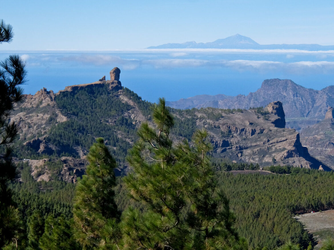
A little further at Degollada de Becerra, there’s a stall offering tastings of Canarian products, but I press on uphill and then down to Cruz de Tejeda. The excellent Parador hotel is my destination and has a wonderful heated pool. On the terrace, the mist comes and goes, suddenly revealing views of the sunset over Roque Nublo and Roque Bentayga.
Day 1: Tunte to Cruz de Tejeda 15.5km (9½ miles) 5hr 30
I arrive in Tunte and follow the Camino de Santiago signs, which shares some of the same route of the GR131. The path zigzags uphill, to a road at Cruz Grande, at 1215m (3986ft), then picks a stone paved trail up a rugged cliff face. Pine forest follows and there’s a glimpse of Roque Nublo before climbing up to Degollada de los Hornos, at 1719m, the highest point on the walk.
My guide is keen to spot the rare Gran Canaria Blue Chaffinch, and later we’re rewarded with two sightings. Pico de las Nieve, the highest point on Gran Canaria at 1951m, is to my right but I carry on, walking on gentle forest trails. There are tremendous views of the mountain tops as I descend to Degollada la Cumbre and here see the new GR131 signs.
A little further at Degollada de Becerra, there’s a stall offering tastings of Canarian products, but I press on uphill and then down to Cruz de Tejeda. The excellent Parador hotel is my destination and has a wonderful heated pool. On the terrace, the mist comes and goes, suddenly revealing views of the sunset over Roque Nublo and Roque Bentayga.
Day 2: Cruz de Tejeda to Puerto de las Nieves 31km (17.51 miles) 9hr
This is going to be a long day so I start at sunrise, in mist and light rain, climbing gradually through pines to Degollada de las Palomas, at 1623m. The path descends passing Cuevas de Caballero, caves once inhabited by aboriginal Guanches. It continues past another cave, Cueva de los Candiles, and works its way down to the attractive village of Artenara. Here the caves have had a makeover and are still inhabited – you can even stay in one.
After climbing, the trail runs parallel to the road and eventually leads to the forest at Pinar de Tamadaba. There’s a campsite here and it’s all downhill from now on, following a rugged path which drops down 1200m on a steep and rugged slope. During the descent, there are fine views of the west coast of Gran Canaria with the ultimate destination of Puerto de las Nieves tantalisingly close.
When I reach the sea I bathe my aching feet in the natural volcanic saltwater pools and celebrate my achievement. This is a tremendous walk and once the signage is up and running, I vow to return and start the GR131 just by the airport. That’s something to look forward to.
Source articles


